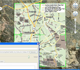
First, zoom in to the approximate area where you plan to overlay your trail map. Then click on "Add", "Image Overlay", then select the trail map you want to layer on Google Earth. Finally, drag the edges around so the map lines up correctly with the background. It helps sometimes to reduce the transparency of the image to about 50% so the background shows through. Once the image is lined up, give it a name, then click "OK", and your done.
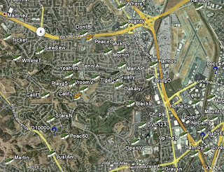
 Let's take a quick run through an example. I know there are lots of caches hidden along the numerous canal trails in Contra Costa County, but when I look at the caches on Google Earth, I can't tell which caches are on the trails, and which are not.
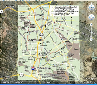
But I just happen to have a copy of the Contra Costa Canal Regional Trail map in .jpg format that I downloaded from the regional trails web site. So I add the file to Google Earth as an image overlay (Google accepts most image types) and line up the edges so it fits where it belongs.
 I just name it and save it, and I'm all set. Now I've got a handy little trail map built right into Google Earth:
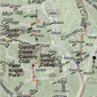
Now I can add my caches to Google Earth, and easily tell which ones I'll be hunting as I head out along the canal trails:

Cache On!
No comments:
Post a Comment